Farmlands: Site Plan from Traffic Study
Speak Up Alachua is a community effort. Every post, photo, and comment is an outcome of collaboration of neighbors who love to live, work, and play in Alachua and High Springs. Information provided in this post was provided to the website and is also public record with the City of Alachua. (If you want to send an email to the City Commission with concerns about Farmlands proposal, click here from your phone.)
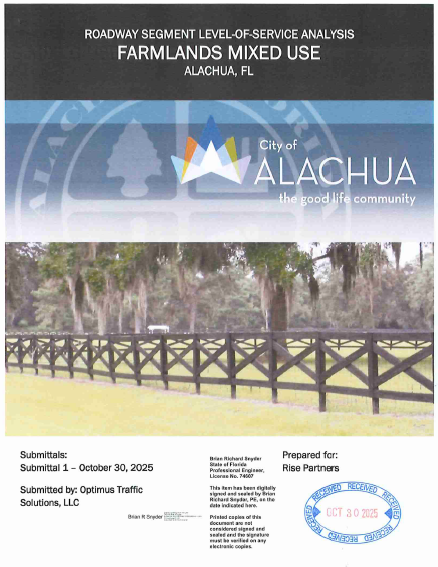
This is the front page of a 125 page document for Farmlands Mixed Use submitted by Optimus Traffic Solutions, LLC to the City of Alachua, prepared for Rise Partners. To view the whole file titled “2025-10-29 Tree Farm Application Reports”, click here.
Farmlands is a proposal in the City of Alachua with a public hearing scheduled at the next Commission Meeting on Monday, June 8th at 6pm at City Hall (next to the post office).
There will be two agenda items related to Farmlands:
1. Request to change the Future Land Use Map of the City (link) to go from seven acres of Commercial to 40 acres of Commercial. This is a legislative hearing which means that any member of the public gets three minutes for public comment and the Commission decision is discretionary. (Elaborating on that next.)
2. Request to rezone Farmlands (link) to which is a quasi-judicial hearing where affected parties are recognized by the Mayor, get reasonable time, and other members of the public get five minutes to speak. This decision, unlike the previous one, relies on “competent substantial evidence”.
Legislative Decisions Give the Commission a Choice on City Policy
When people hear the phrase “legislative decision” at City Hall, it can sound like confusing jargon. In simple terms, a legislative decision (first item) is about elected officials making policy choices for the future of the community. Quasi-judicial hearings (second item), is when the commission applies existing rules to a specific application using evidence and technical standards.
This distinction matters because there is sometimes a perception that voting “no” on a land use request opens the City up to a lawsuit. Legislative decisions are ultimately it’s up to the City Commission if they want to change its own policy. The Commission adopted these guidelines, so they can decide whether changing it is the right move for the community.
These two items depend on one other. If the first one does not pass, the second one cannot either because the applications must be consistent. (We saw a similar situation at the Planning & Zoning Board in 2025 involving the Tomoka Hills Farms application, where a 2-2 vote was denied.)
Legal Precedent: In the 2001 Florida Supreme Court Case SC95686 (link), it states
“…The First District reasoned that all comprehensive plan amendment requests involve policy formation rather than application because all comprehensive plan amendment requests, regardless of size, require the governmental entity to determine whether it is socially desirable to reformulate policy.”
Read those last five words again: “socially desirable to reformulate policy” so if the Commission feels that if an application request is not socially desirable, they can vote no.
City Staff: At a recent joint workshop (video) between the Planning & Zoning Board and Commission, Planning Director Bryan Thomas says with the caveat of quasi-judicial hearings that rely on “competent substantial evidence”:
“…As the deciding body you can decide even though this is legal, do I still think it's good for my community? So, you you have that choice to make.”
If you want to send an email to the City Commission with concerns about Farmlands proposal, click here from your phone.
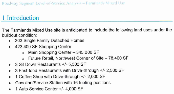
Traffic Study Previews Potential Development
The introduction to this traffic study references a mixed-use development concept that includes 203 homes, a shopping center, future retail, three sit-down restaurants, three fast-food restaurants, a coffee shop with drive-through, a gas station with 16 pumps, and an auto service center.
Although this document may not be part of the agenda materials for the land use change and rezoning applications, it provides context about development scenarios evaluated as part of the traffic analysis. Since it exists as a public record, residents may find it helpful when trying to better understand the project under consideration. The site plan below provides a visual preview.
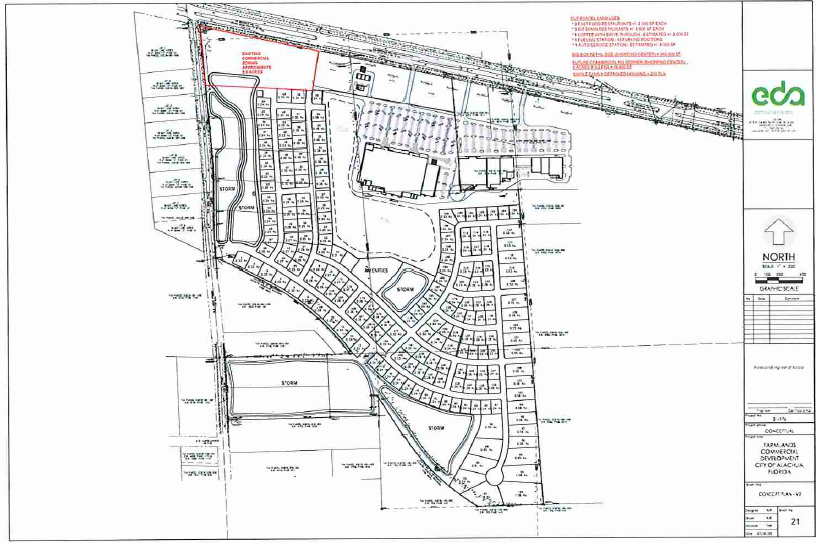
US HWY 441 is the road on the top of the map going East to West.
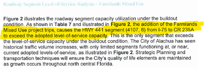
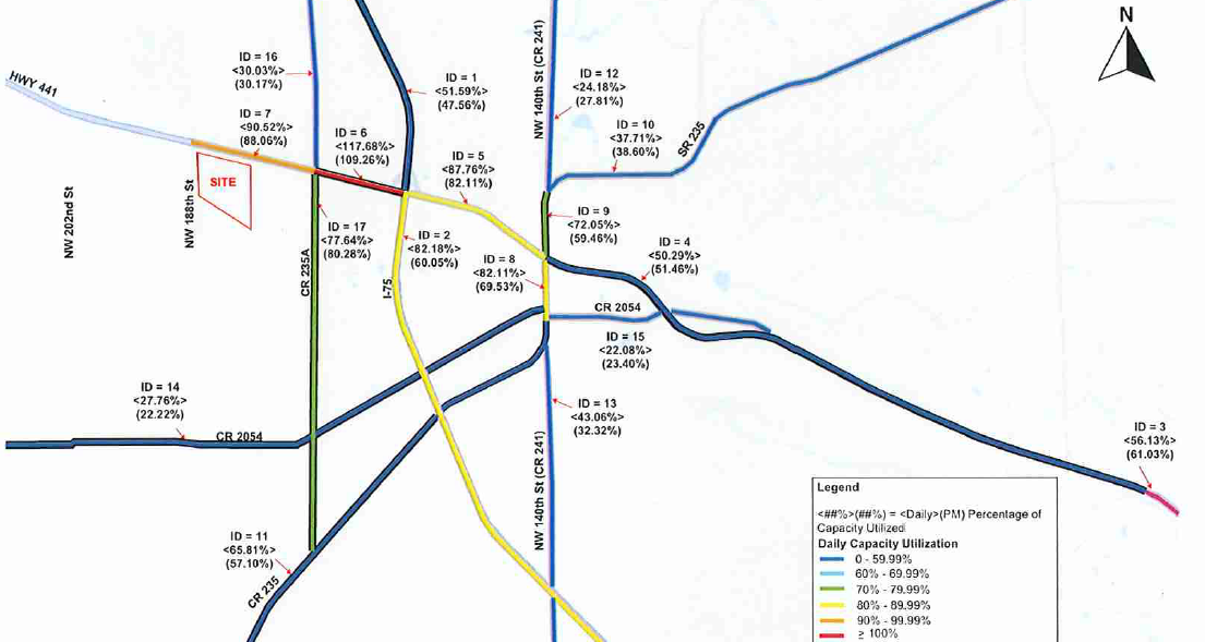
Other screenshots from the traffic study below. To view the applicants presentation from the Planning & Zoning Board that addresses traffic, it is on YouTube. The yellow highlight was added.
Speak Up and Show Up
If you want to send an email to the City Commission with concerns about Farmlands proposal, click here from your phone.
This will be on the agenda at the Alachua City Commission meeting:
Monday, June 22, 6pm
Alachua City Hall
15100 NW 142 Terrace, Alachua, FL 32615
It may be a long night so please stay and be patient if this is important to you!
